

Company of Heroes 2 Map: Pinsk Wetlands Postmortem
Two years ago, when I was between graduating and finding a job, I decided to try working on some level design for one of my all-time favourite RTSs: Company of Heroes 2.
I poured a few weeks of work into it, between putting applications together and working on other mods. Over my studies, my friends and I played CoH2 quite religiously, and I felt sufficiently familiar with its level design to just jump straight in. However, by the time I had something ready to test, I found it dissapointingly bland and unstrategic to play when I gave it a shot with some friends. I may have continued work, but by that time I’d managed to find a job (which required all of my focus).
For this blogpost, I’ve decided to dig up my old map and give it a revision with fresh eyes.
The Pinsk Wetlands
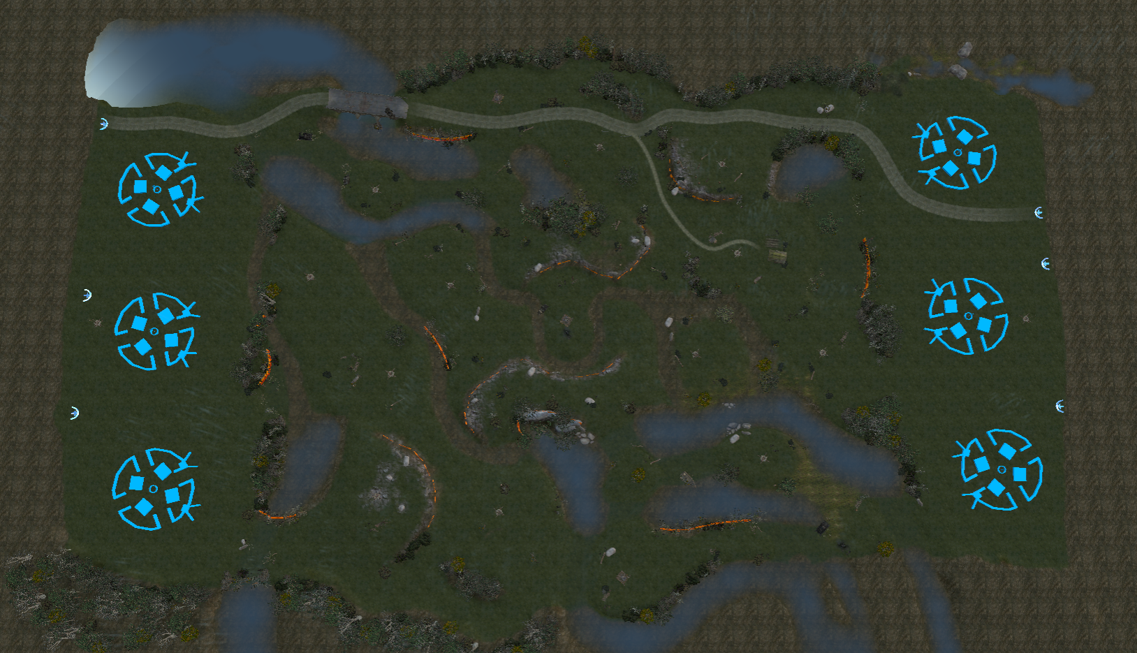
The Pinsk Wetlands map was concieved as a symmetrical, 2v2-3v3 multiplayer map for the (still vitalised, even 7 years after its launch) online community to download and enjoy.
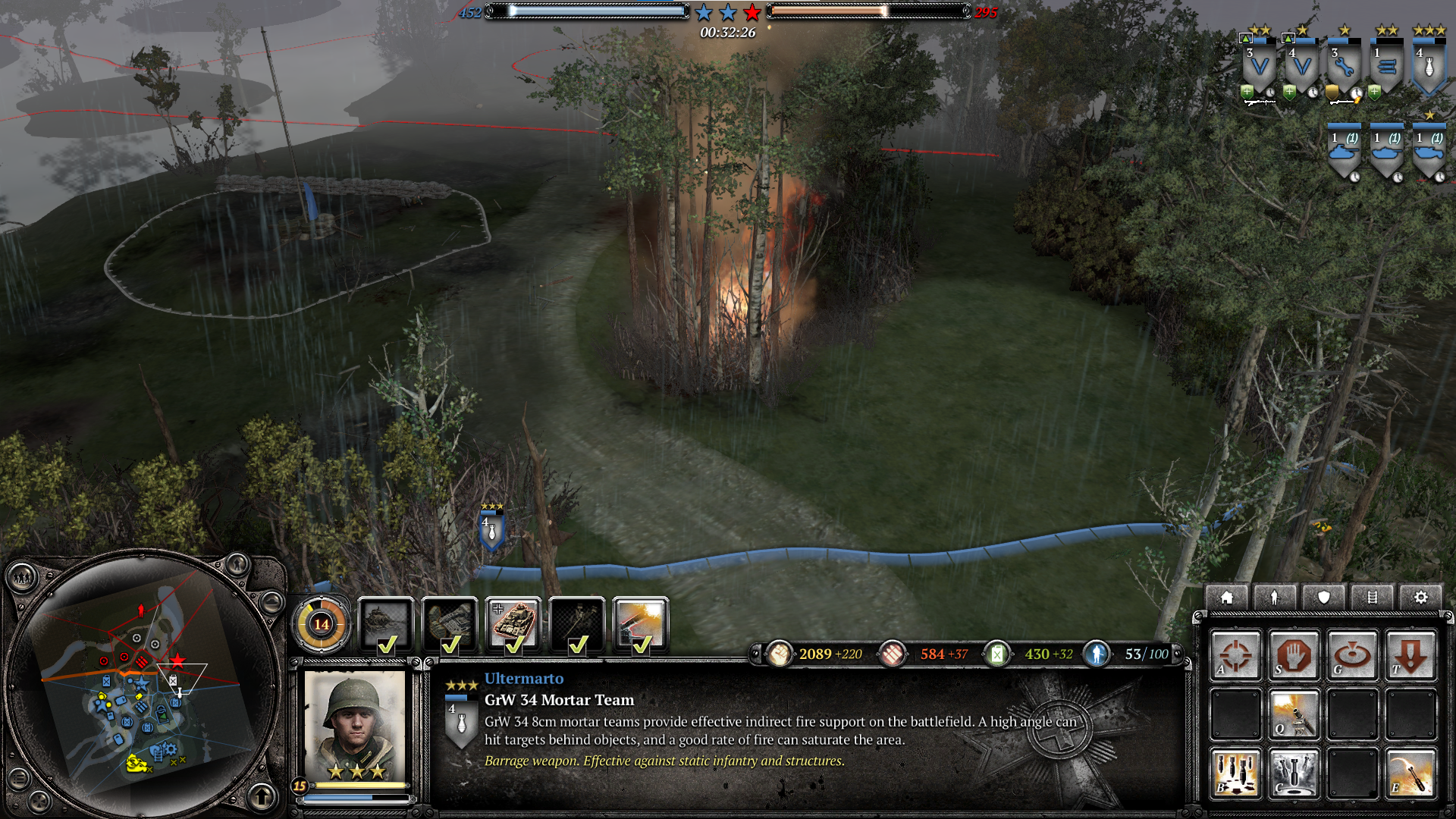
The Pinsk marshes are an enormous stretch of wooded wetlands along the Ukrainian-Belarusian border. During Germany’s invasion of the USSR (which CoH2 focuses on), the marshes were largely side-stepped by advancing German forces, which were at a disadvantage in the region’s poor infrastructure. On the retreat from their eventual stagnation at Soviet hands, Wehrmacht soldiers were less able to avoid the wetlands. It’s during this retreat that the map is set: the red army is chasing German troops through miles of waterlogged woodlands and swamps, still dotted with the ghostly ruins of Panzer IVs from Barbarossa’s first year.
Core Design
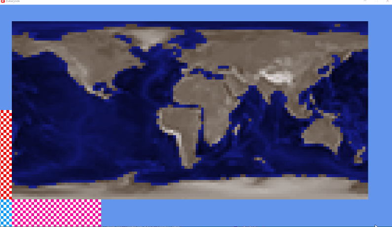
The overview above doesn’t make the map’s layout entirely clear (boundaries are sometimes represented by deep water or steep cliffs), so I’ll go over the map’s general design and what I was thinking when I put it together.

Above is an annotated graph of the layout.
Impassible areas are white.
Sight blockers are burgundy.
Cliffs are purple (the solid edge being the top ridge of the cliff, and the offshoot lines being the slope).
Capture points are yellow flags.
Munitions caches and Fuel caches are red icons: bullets and a jerry can, respectively.
Command points are orange stars.
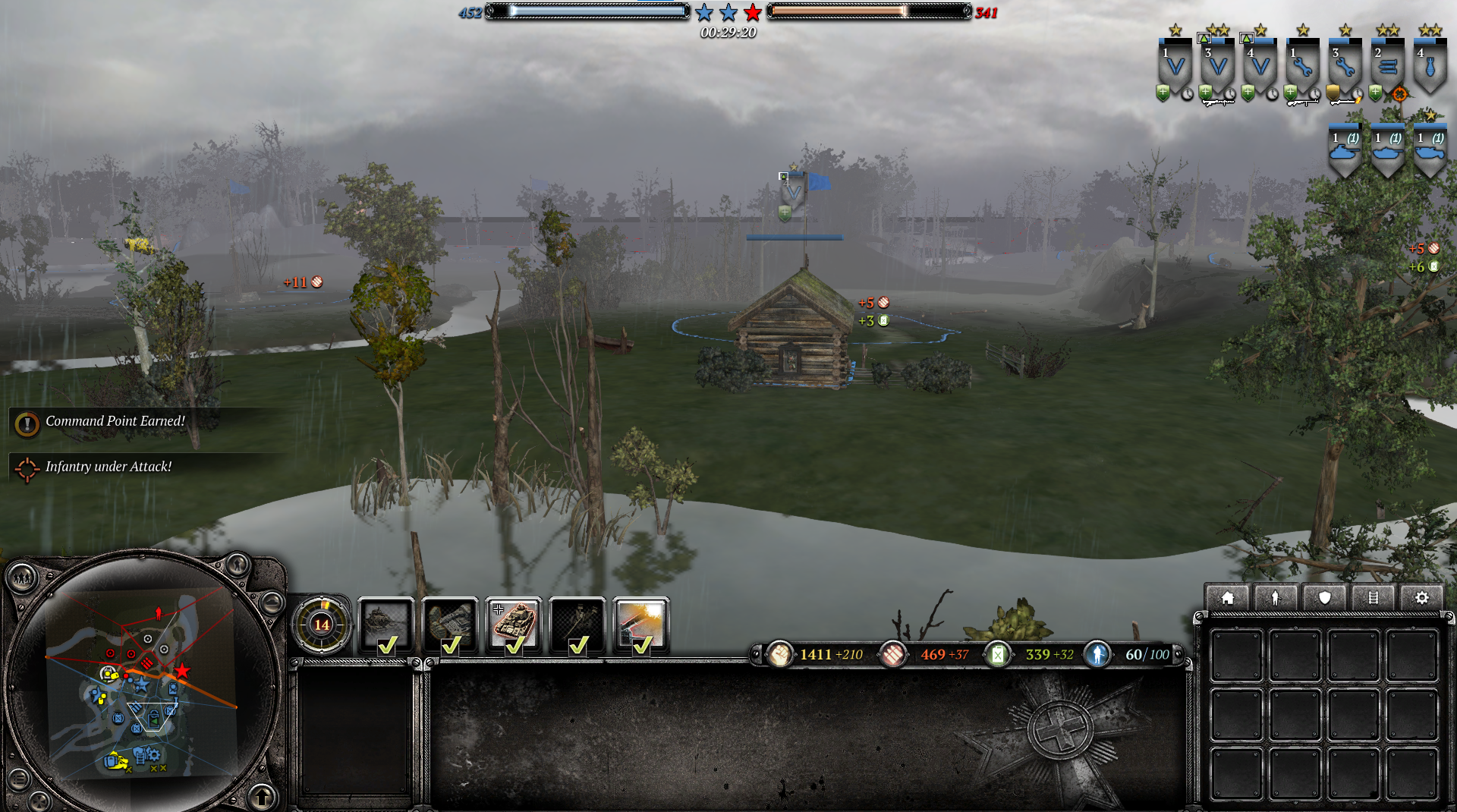
For the unfamiliar, CoH2 is generally played by having your troops control those orange stars. Other capture points (the yellow flags and red icons) provide resources for building troops.
In black and magenta numbers, I’ve marked some of the notable features on the map.
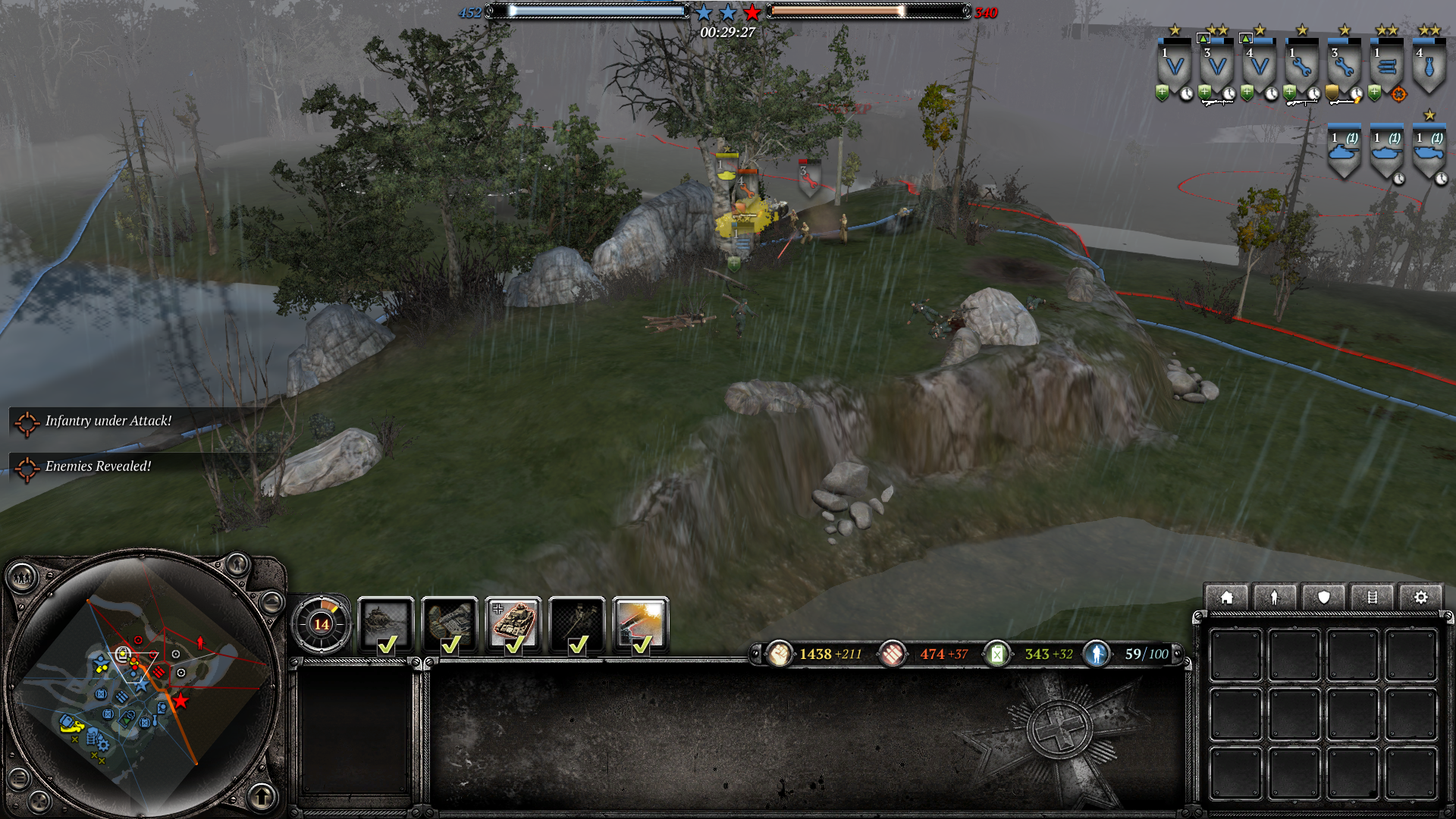
(1) The Central Arena

At the centre of the map sits a single command point in a muddy pit, flanked by two rising cliffs. The left-side cliff can be driven to by your team, while the right one can be driven to from the enemy’s aproach.

Approaches to the high ground shown in blue arrows.
The central arena was intended as an area of high traffic, constantly shifting between friendly and enemy hands.
High grounds - one easier for your team to control - were added to provide players with an option for dislodging enemy occupation.
(2) Right-Side Defensive High Ground

To the right flank of the central arena, from either team’s perspective, the central high-ground parts off to form a ravine. Another chunk of high-ground - again, easily accessible for the defender - borders this ravine.
This second bit of high-ground looks out over your team’s closest fuel-cache (arguably the most important capture point in CoH2), giving you a defensive advantage of this region but allowing the enemy team to kill your units guarding the fuel-cache without much opposition. Again, this is in service of creating an area of dynamic control: the enemy team can pretty easily push you out of your fuel-cache, but you can use the high-ground to take it back.
(3) Far-Back Defensive Position

Either side of the map bosts a control-point dense with defensive positions - a shack, in this case - just beyond this ravine, and outside the limits of your base. This provides an easily-reinforced defensive hardpoint for cases when the enemy is really pushing into your zone. It’s particularly helpful for deflecting early-game infantry attacks, but won’t stand up very well against late-game tanks.
(4) Labrythial Wetlands

On the left of the map, we have stretches of bogland dotted between deep river channels, forming a set of islands from which troops have line-of-sight on each other, potentially able to set up defensive units such as machine-guns or mortars to hold the river-bank approaches.
(5) Stealthy Flank-Route
One final intention-rich piece of the map is a secluded flank-route on the far left and right. This route leads around the fuel caches on each side of the map, and completely conceals attackers, supposedly allowing more dynamic back-and-forth at these critical capture points.
Room for Improvement
So what exactly is the quality of this map? I mentioned at the start of this post that I don’t feel it holds up very well. Why not?
The map almost meets my standards. I honestly think it’s a few iterations away from being genuinely enjoyable. When playing a 2v2 against AI, I do get some classic CoH2 firefights and genuinely interesting opportunities to maneuver against my opponent.
There are a handful of issues, which I’ll go over. I’m going to suggest solutions to these with the intention of keeping editing costs minimal: creating this map as it is now actually took a lot of my time, and if I was going to continue my work (which I might) I’d want to spend as little extra time as possible. The basic formula of the map is generally pretty sound, I’d say, so this is perfectly achievable.
Map Shape and Scale
Maybe the most fundamental issue is the general form of the map. Again, if we look at its overall layout:

Compare it to what’s in my opinion, one of the best 3v3 maps in the vanilla game, Across the Rhine.

It’s not immediately obvious, but Across the Rhine is just a little bit wider, top-to-bottom in this image, than Pinsk Wetlands. The corridors of attack really jut out around that bottom lowlands region, and the farmsteads at the top. Across the middle, there are multiple avenues of attack interweaving quite seamlessly. Compare this to my map, which quite distinctly has three lanes. Some areas in Pinsk are too large and featureless, while others are too clustered.
The huge amount of dead-space in the river zones doesn’t help. In general, my marriage to this whole ‘swamp’ concept means I should aim for a map with a broader centre. It also means the map feels much more comfortable as a 2v2, so that’s probably how I’d re-design it.
The Central Arena is Boring
The part of the map that is intended to be the most hotly contested, dynamic, and interesting easily becomes the least so. I’m still not entirely sure why this is, but the small scale of the area is definitely a contributing factor: The little crater in the map’s centre is so small that a unit in the middle easily has visual of the two flanking plateaus.

Ideally, an MG on one cliff should not be able to see an MG on the opposite cliff: both cliffs should provide an advantage to swiping the middle command-point, but without controlling both cliffs (which is difficult to do, since each is more easily accessible from opposite ends of the map) this region shouldn’t be a safe bet. A broader central space will make for a more vulnerable feeling to defending this spot. It’ll also make vehicular battles in this segment far more intriguing.
On an extra note, the flanking cliffs are entirely too boring to play around, being elevator corridors with only two avenues of entry (only one of which is likely to ever be accessible by your troops). This is a tricky problem to solve, since the cliffs really should be difficult to get to: they’re intended as defensive points. However, other CoH2 maps have a very neat trick for this sort of area: providing teeny, narrow climbs to a piece of high-ground restrict some attack routes to infantry, while also giving defenders plenty of cover to work with. Adding some of these gives a player just one more option for controlling the central arena.
Finally, like many spots in the map, this area needs more infantry cover. In particular, cover is needed to get infantry close enough to challenge the region’s middle.

2. Everything Important is on the Map’s Central Meridian
Another look at the map will show that all critical capture points - the command points, and the munitions/fuel caches, occupy the central column of the map. Less important capture points are at either side, closer to each team’s bases.
This is perfectly sensible: fuel and command points are the most important capturables in the game, so they should be in an area of contention. But it helps to provide less decisive areas along where the front is likely to land. This gives a player some options to ‘chip away’ at their opponent’s defense, probing for weak points that might eventually lead to a changing of fortunes, or depriving the enemy of standard resource flow if they can’t siphon off critical regions.

In general, on second glance, the entire middle of the map is too dense, with exactly 5 routes of passage (3 of which pass through the central arena, and could be considered the same attack lane.
Again, a broadening of the mpap’s geometry will help with this. But it also seems to call for more corridors of assualt and maybe a little less tree cover. Some capture points should also be moved to the central meridian.
The Swampy Region is a Dead Area
The water-logged segment of the map (top-left and bottom-right) doesn’t see much traffic at all, which is a real shame since this is intended as the aesthetic sell of the level. Watching your tanks crash through the muddy Pripyat estuaries is supposed to be quite satisfying.

Why is this? Well, if we take a good look at the layout of this map chunk, it seems pretty clear.

Entry routes (cyan for the left team, and blue for the right team) are too narrow and scarce for this region. it exists as a sort of island, containing only one capture point, and with little chance of the opponent ever coming close to the site. Most critically, there’s only one narrow passage into the marshy area from your team’s base (top-left).
Within this problem are opportunities to solve the other issues I’ve mentioned:
When broadening the map, we can bring these wet areas forward a little, making them more contestable by the attacking team.
There’s almost room for another capture-point or two in this region with its current layout. Injecting more CPs into the marshy zone will make the area more worth exploring.
Making Revisions
With all these issues in mind, I drew up some changes, labelled in the image below.

The annotations signify:
At the centre of the design, and driving a lot of the change, we have a broadening of the central arena. Infantry access routes have also been added to the outcroppings on either cliff.
More entry avenues are provided to the marsh territory from the home-teams base, hopefully encouraging troop movement in that direction.
The original design of the marsh area - a space where the defending player can shell an encroaching attacker from across the river - has been exagerated, by narrowing the river and bringing the peninsula further forward. Placing a capture point at this spot should also encourage defenders to make better use of this location.
The existing ‘flank route’ felt pretty dull and ungratifying to use. So I added a segment of high-ground from this lane where players can, if they choose, hold position against their opponent instead of flanking all the way around.
The entire batch of trees behind each central cliff has been elaborated into a sort of dense grove of forestry. The big ugly pond that occupied this spot before my changes was absolutely no fun to play around. This new region provides quiet attack routes towards the most distant command point for the attacker (the right-side team, in the case of this annotation), encouraging a more diagonal (top-left to bottom-right) front to form, and allowing the attacker to move up into the marshes if they really press the advantage.
You’ll note that I’ve done my best to respect the existing map structure. As I said, it took a while to get things this far, so I wouldn’t want to overhaul everything. Furthermore, the unmentioned parts of the map (the defensive fallback cabin and the cliff overlooking the fuel cache) have actually been playing quite well so far, so 'I’m happy to leave them be.
TIme permitting, I may implement these changes and finally release the map to the public. In the mean time, it’s been fun to revisit my old design with a few more years of experience.